Client: Regional Water company of Ardabil
Project's geographical location: Ardabil province
Project description:
Determination of the extent of the substrate and the privacy of rivers and the banks according to the hydrological statistics of rivers and dab in their natural substrate in order to enforce government governance on their subscribers and their use according to Public materials based on the law and the Bachelor's work, the legal and technical foundations to determine the extent of the platform and the privacy to apply the management of quantitative and qualitative protection of rivers and finally the preparation and production of GIS database to respond quickly to stakeholders by the custodians of the project's objectives.
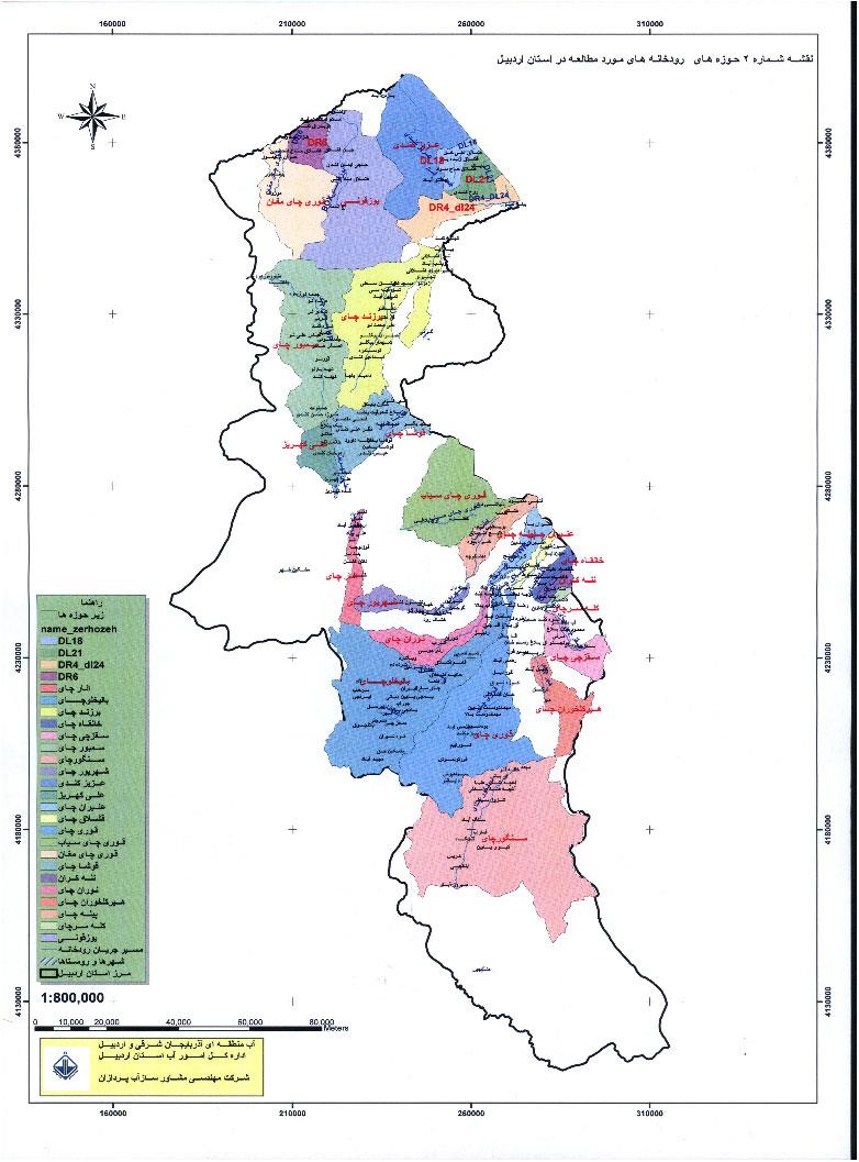
Studies of the internal rivers of Ardabil province, including 71 river and the length of approximately 2126 kilometers and mapping of rivers and its shores to the extent of 62000 hectares of services provided by this consultant in the province of Iran. In these studies, the entire province has been divided into five divisions and the number of rivers has been studied in each zone.