Employer: Ministry of Agriculture Jihad- Kouzestan Jihad Agricultural organization
Project Geographical Location: Kouzestan province- Susangerd and Bostan cities
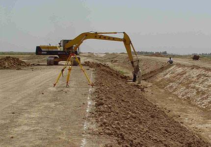
Project description:
Draining country's water resources through of border rivers is wasting of national wealth and needs to comprehensive and strong plan for using them. By next of full water rivers of province potential lands are exist which can benefit of natural wealth well.
The lands of 4th zone are in the south of Hoofel river and rural areas including , Megasis , Dehimieh, Bardieh, Fanikhi, and proper economic growth will take place in area, in case of complete implementation of irrigation and drainage project of District 4.