Cadastre map preparing of agriculture lands in the scale of 1:2000 by utilizing aerial photos and collecting details information and eliminated intera

Employer: Ministry of Agriculture- Jihad- Agricultural- Jihad Organization of Khouzestan
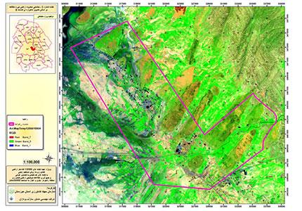
Geographical position: Khouzestan Province, Ahvaz, Ramhormoz and Bavi cities
Executing introductions consist of maps collecting and aerial pictures and ages photos
The implementation of volunteers participation in organizations, councils and social assemblies in order to attract the cooperation of people surveying in the area of agricultural parts of the present situation
Executive measures of elimination of drug-parallel regulations
Collecting details information of self-proclaimed owners and beneficiaries of agriculture patches