Client: Khouzestan Water and Power Authority
Project's geographical location: Khuzestan province
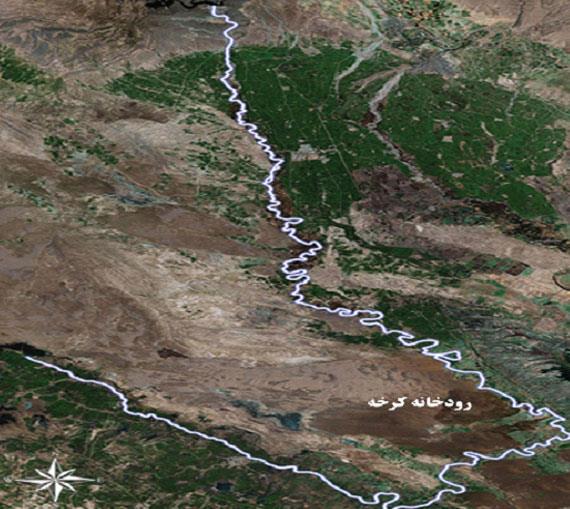
Project description:
In the policies of the province rivers, which aims to determine the legal limits of the Karkheh river, with the general objectives of the limit of the extent of the Karkheh river, sand mines, sediment and sex and their quality, shore erosion and determination of eroded points, economic and environmental evaluation and be considered. Also, the maps of the platform and the relevant reports were presented. The purpose of these maps is to apply management, quantitative and qualitative protection and the provision of databases for all rivers and all intervals as well as organizing the harvesting of Balarod rivers, and the introduction of alternative mines for supplying the materials.
The scope of the project is as follows:
1-Karkheh River The extent of Karkheh dam to the wetland of Hawr-Al-Azim, 300 km
2-Dez River, the extent of regulatory dam to the Hamidabad Bridge and Balarod rivers and Kahak, 110 km
3-in the city of Ramhormoz in the area 25 km
4-Kheyrabad and Venus to the Persian Gulf with a length of 230 kilometers