")
کارفرما: وزارت نیرو -شرکت آب منطقه ایچهار محال بختیاری
موقعیت جغرافیایی: استان چهار محال بختیاری
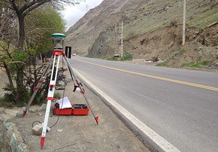
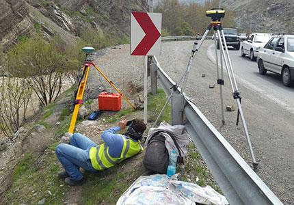
تشریح پروژهایجاد شبکه مختصاتی با استفاده از گیرنده های ماهواره ای بتعداد حدود 90 نقطه
تهیه نقشه 1000/1 از حریم رودخانه کیار و اردل یا باند 200 متر بطول تقریبی 95 کیلومتر- تهیه و ایجاد سیستم های اطلاعاتی مکانی (GIS)