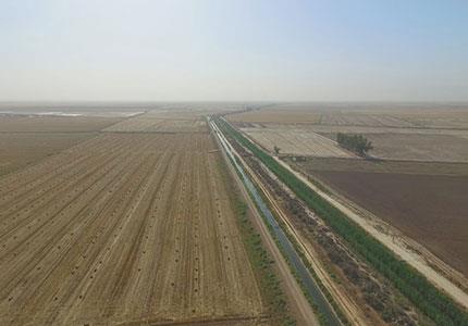
Cadastre map preparing of agriculture lands in the scale of 1:2000 by utilizing aerial photos and collecting details information and eliminated intera

Implementation of audit Project Issuance of national areas ownership document

Surveying services of Khammat village and Dezful Diversion Band

Surveying of Zeydoon areas of Behbahan

Topographic map preparing in the scale of 1:2000 definition riparian of Karun and Bahmanshir rivers in the 18000 hector area

Topographic map preparing of plans of Anbaran and Angoot dams

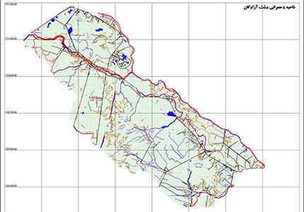
preparing map of the 4 development zone of Dashte Azadegan Scope in the 1:2000 Scale

Updating and producing the topographic map of Ilam Garmsiry Project in the scale of 1:2000

Cadastre of agricultural lands in the area of 15000 hectares

Study and surveying of dust zones in the south east in the 200,000 ha. Area approximately

Map producing and marking 250 signs in the riparian of Karkhe dams storge in the length of 60 kilometer.

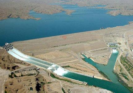
Hydro graphic surveying of Shirin Darreh dams lake

Study and surveying of Hashtbandy river

The First and Second phases cross sectioning of Aala river

