Employer: ministry of Energy- Regional Water Company of Chaharmahal and Bakhtiari
Project’s Geographical Location: Chaharmahal and Bakhtiari Province
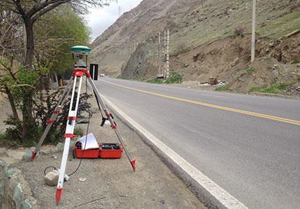
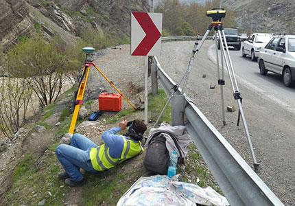
study and coordinated network creation by utilizing satellite receivers in the number of 90 points
map producing in scale of 1:1000 of Kiar and Ardal and the band width of 200 meter and in the length of 95 Kilometer approximately- produce and creation of Global Information Systems (GIS)